Record Detail
Move cursor over image to magnify
| w00920 | |
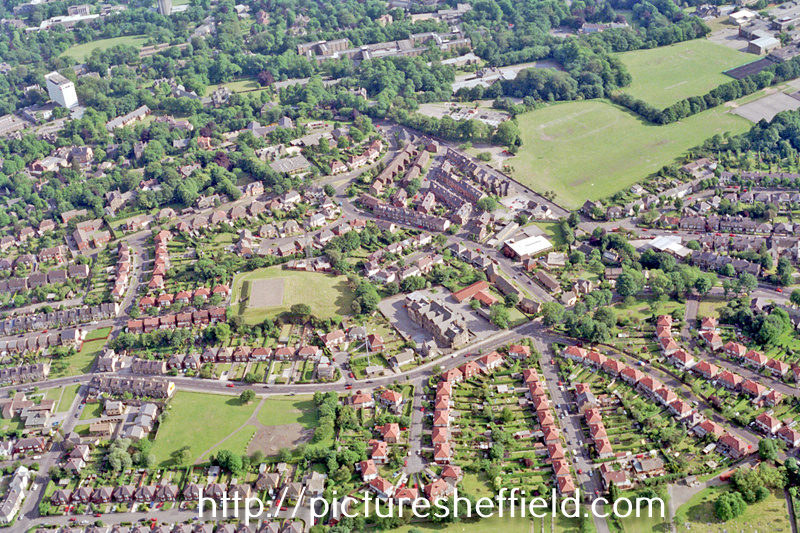
| Aerial view of Crookes/Broomhill area. Prominent roads in foreground include Lydgate Lane (including Lydgate School), Forres Road, Headland Drive, Headland Road and Marsh Lane. Roads in background include Tapton Hill Road and Ryegate Road | |
| Sheffield_Crookes | |
| 1995/07 | |
| 1980-1999 |
Copying and access
This digital image, and all images on Picture Sheffield, are protected by copyright. You may use it for private study or non-commercial research, with due acknowledgement.
You may share it on social media via a linked post or by citing www.picturesheffield.com together with the Image Reference, unless its copyright is noted as belonging to another organisation. You must not reproduce it by any other means without permission.