Search Results
Found 122922 records
| No | Image | Details | Add to Album |
|---|---|---|---|
| 1 | 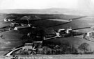 | s11432 General view of Totley, near the Rifle Range | |
| 2 | 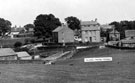 | s11433 Totley Village at Hillfoot Road and Butts Hill junction. Wooden hut extension belonging to All Saint's School, left | |
| 3 | 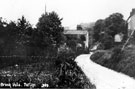 | s11437 Brook Vale, Back Lane leading from Queen Victoria Road to the Chemical Yard, Totley | |
| 4 | 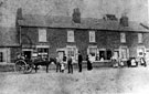 | s11445 Shops and housing, Retford Road, Woodhouse Mill | |
| 5 | 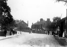 | s11457 Main Road (later named Handsworth Road), Handsworth, Jeffcock Memorial Fountain can be seen to the right | |
| 6 | 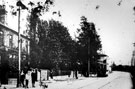 | s11458 Main Road (later named Handsworth Road), near Norfolk Hotel | |
| 7 | 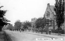 | s11459 Main Road (later named Handsworth Road), Handsworth Wesleyan Church on right | |
| 8 | 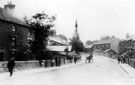 | s11460 Main Road (later named Handsworth Road), looking east towards St. Mary's Church | |
| 9 | 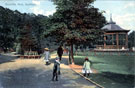 | s11467 Endcliffe Park, Bandstand | |
| 10 | 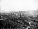 | s11477 General view of Norfolk Street Area (Victoria Hall) and Park Hill |
Found 122922 records.