Search Results
Found 124650 records
| No | Image | Details | Add to Album |
|---|---|---|---|
| 1 | 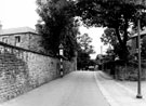 | s19796 Stradbroke Road, lodge belonging to Woodhouse Cemetery in background | |
| 2 | 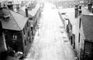 | s19827 Elevated view of Sutton Street at junction with Winter Street, looking towards junction with Bolsover Street | |
| 3 |  | s19844 Junction of Arundel Street and Surrey Street, looking towards Eyre Lane. No 126, Surrey Street, centre | |
| 4 | 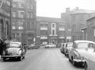 | s19845 Surrey Street looking towards Arundel Street including College of Technology and Surrey House. Former School of Medicine, then occupied by Army Recruiting Offices | |
| 5 | 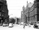 | s19846 Surrey Street from Town Hall Square. Albany Hotel and Yorkshire Penny Bank, left | |
| 6 | 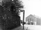 | s19864 Talbot Street looking towards junction with Norfolk Road, South Street and Shrewsbury Road, showing position of bus stops later moved to Granville Road side of junction. Former United Methodist Free Church, Shrewsbury Road, Park, right | |
| 7 | 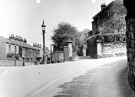 | s19865 Talbot Street and Norfolk Road (right) junction showing (centre) the entrance to Shrewsbury House | |
| 8 | 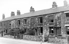 | s19866 Derelict housing, Nos. 37 - 43 Talbot Street, Park | |
| 9 | 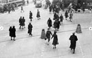 | s19957 Elevated view of 'Coles corner', Fargate/High Street/Church Street | |
| 10 | 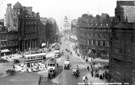 | s19970 Elevated view of Town Hall Square and Fargate, 1950-1955, including No 66, Fleur de Lys public house, (Bovril sign) and Bank Chambers, left. Albany Hotel and Yorkshire Penny Bank, right. Town Hall Square Rockery in foreground |
Found 124650 records.