Search Results
Found 124650 records
| No | Image | Details | Add to Album |
|---|---|---|---|
| 1 |  | s17138 St Mary's Lane looking towards premises fronting to Ellin Street, built over the Porter Brook | |
| 2 |  | s17139 Junction of Hermitage Street and London Road, Sheffield and Ecclesall Co-operative Society 'The Arcade', Cemetery Road, in background | |
| 3 |  | s17140 Hermitage Street showing yards belonging to houses fronting Bramall Lane (Nos. 26 - 30), right. Premises on St. Mary's Lane, in background | |
| 4 |  | s17141 Hermitage Street looking towards Bramall Lane, Nos. 27 - 29 Star of Lemont public house (foreground) and Queen Adelaide Hotel (background) | |
| 5 |  | s17142 Nos. 42 - 54 Hermitage Street, former St. Mary's National Schools in background | |
| 6 | 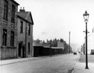 | s17143 Hermitage Street, former St. Mary's National Schools and (left) No. 40, caretakers house | |
| 7 | 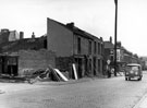 | s17144 Demolition of premises on Hermitage Street, looking towards St. Mary's Road including No 1, Norfolk Hotel (on corner) | |
| 8 | 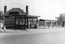 | s17145 Bus shelters on Herries Drive with the Longley School caretakers house, Raisen Hall Road behind | |
| 9 | 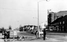 | s17147 Herries Road at the junction wiith Herries Drive showing the Essoldo Cinema (Forum) | |
| 10 | 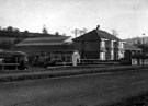 | s17149 Nos. 922 - 924 Herries Road and Omnibus Depot, near the junction of Penistone Road North. Land to left of houses was used for visiting fairs. The 1934 Map shows no other buildings except for the semi-detached properties |
Found 124650 records.