Search Results
Found 124679 records
| No | Image | Details | Add to Album |
|---|---|---|---|
| 1 | 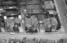 | u10546 Aerial view of Langsett Avenue, Marlcliffe Road along right side. | |
| 2 | 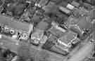 | u10547 Aerial view of Airedale Road from left at junction with Vainor Road | |
| 3 | 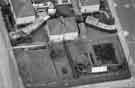 | u10548 Aerial view of houses between Langsett Avenue and Prescott Road looking east | |
| 4 | 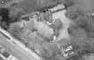 | u10549 Aerial view of Wadsley Church Hall, Worrall Road, looking north | |
| 5 | 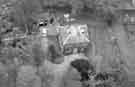 | u10550 Aerial view of old Wadsley Vicarage, Airedale Road, looking north | |
| 6 | 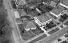 | u10551 Aerial view of Worrall Road with junction of Vainor Road, looking northeast | |
| 7 | 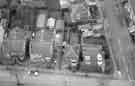 | u10552 Aerial view of junction of Vainor Road (along bottom) and Milden Road on right | |
| 8 | 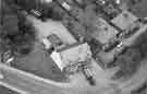 | u10553 Aerial view of Horse and Jockey public house, No. 250 Wadsley Lane | |
| 9 | 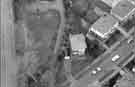 | u10554 Rydalhurst Avenue, Wadsley, with Rural Lane across the top left. | |
| 10 | 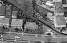 | u10555 Aerial view of Rydalhurst Avenue near to junction of Worrall Road, looking northwest |
Found 124679 records.