Search Results
Found 124650 records
| No | Image | Details | Add to Album |
|---|---|---|---|
| 1 | 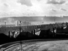 | u01753 Elevated view from Wincobank Road looking over Skelworth Road towards housing and industry in Brightside and Attercliffe with Hyde Park Flats on the horizon | |
| 2 | 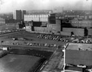 | u01754 Elevated view of The Moor, Young Street and Bishop Street, looking towards Broomhall/Broomhill, No 55, Moore Street, Richards Bros. and Sons Ltd., cutlery manufacturers, right, Electric Sub-Station, Broomhall Flats and Hallamshire Hospital (back) | |
| 3 | 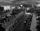 | u01755 Elevated view showing rear of housing on Woodgrove Lane (left), Fawley Road (centre bottom), Penistone Road (centre left to right) and Hobson Avenue and Easterbrook Allcard and Co. Ltd., Albert Works (left) and Weirhead Iron Foundry (centre top) | |
| 4 | 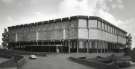 | u12324 Architects drawing of the electricity substation, Moore Street / Hanover Way | |
| 5 | 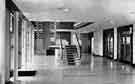 | y12925 Granville College, entrance hall | |
| 6 | 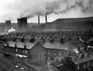 | u01757 Elevated view of Neepsend Power Station showing terraced housing on Rawson Street (bottom centre) and Woodgrove Lane (bottom right) | |
| 7 | 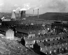 | u01758 Elevated view of Neepsend Power Station showing terraced housing on Rawson Street (left) and Woodgrove Lane (bottom centre right) | |
| 8 | 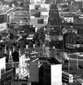 | u01759 Elevated view of The Moor from junctions of London Road, Cemetery Road and Ecclesall Road | |
| 9 | 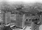 | u01760 Elevated view showing Netherthorpe Flats looking towards Edward Street Flats and surrounding area | |
| 10 | 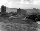 | u01761 Netherthorpe Housing Redevelopment looking towards Woodside/Burngreave Redevelopment in the distance, proposed open space in the foreground |
Found 124650 records.