Search Results
Found 122949 records
| No | Image | Details | Add to Album |
|---|---|---|---|
| 1 | 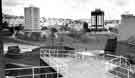 | s43304 Netherthorpe Flats from Bramwell Street | |
| 2 | 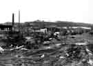 | s43312 Land between Archer Road and Abbeydale Road before redevelopment by Tesco Supermarket | |
| 3 | 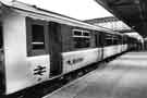 | s43320 The launch of the new Sprinter train, Sheffield Midland railway station | |
| 4 | 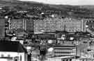 | s43321 Kelvin Flats viewed from across Netherthorpe showing Walkley beyond | |
| 5 | 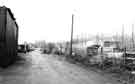 | s43326 Land between Archer Road and Abbeydale Road now occupied by Tesco Supermarket | |
| 6 | 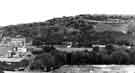 | s43330 View from the clock tower, Hillsborough Barracks across Neepsend, Parkwood Springs towrds Shirecliffe showing Sheffield Sports Stadium (later Owlerton Stadium) (centre) | |
| 7 | 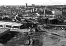 | s43333 View over Netherthorpe and Upperthorpe from Parkwood Springs showing (top left) Netherthorpe Flats, (top right) Kelvin Flats, (centre) Martin Street flats and (right) Neepsend gas holders | |
| 8 | 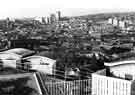 | s43334 View over Netherthorpe from Pye Bank flats showing (top right) Martin Street flats and Crookesmoor recreation ground and (top centre) Netherthorpe Flats, University Arts Tower and Royal Hallamshire Hospital | |
| 9 | 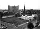 | s43388 View from the City Hall of the junction of (left) Cambridge Street and (right) Division Street showing (right) Anila's Indian restaurant (No.11) and (top centre) Telephone House | |
| 10 | 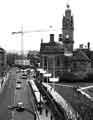 | s43389 View of Pinstone Street looking up to Town Hall Square showing (right) Town Hall and Peace Gardens |
Found 122949 records.