Search Results
Found 122908 records
| No | Image | Details | Add to Album |
|---|---|---|---|
| 1 | 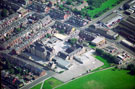 | w01047 Aerial view of Greenlands Nursery, First and Middle school, Fisher Lane, Darnall. Staniforth Road in background | |
| 2 | 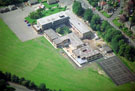 | w01048 Aerial view of All Saint's School, Granville Road | |
| 3 | 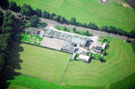 | w01049 Aerial view of Talbot School, Norfolk Park Road | |
| 4 | 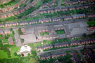 | w01050 Aerial view of Wybourn First School and Wybourn Nursery (bottom left), Manor Oaks Road with Maltravers Crescent (top left), Manor Oaks Close (top right) and Outram Road (behind the school | |
| 5 | 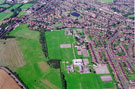 | w01051 Elevated view of Frecheville area. Birley Secondary School and Thornbridge County Secondary School, centre. Prominent roads in foreground include Thornbridge Avenue, Thornbridge Road and Thornbridge Drive | |
| 6 | 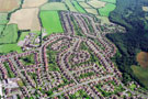 | w01052 Aerial view of Gleadless area. Charnock Hall Primary School, Carterhall Road, top, left. Prominent roads in foreground include Charnock Hall Road, Charnock View Road and Charnock Dale Road | |
| 7 | 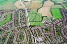 | w01053 Aerial view of Gleadless area. White Lane, centre, top to bottom. Charnock Hall County Primary School, Carterhall Road, centre, right. Prominent roads on left include Lister Avenue, Basegreen Road, Basegreen Drive and Basegreen Crescent. | |
| 8 | 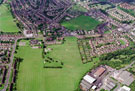 | w01054 Aerial view of Hollisend Road, Gleadless. Jaunty Park, Jaunty Lane, Hollinsend Avenue and Hollindale Drive, foreground. Gleadless School, Hollinsend Road, centre. Mansfield Road and Alnwick Road in background | |
| 9 | 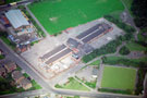 | w01055 Aerial view of Phillimore Road Junior and Infant School showing Phillimore Road (bottom), Clement Street (left), Henson Street (front of school), Coleridge Road (top) and Phillimore Park Bowling Green (right) | |
| 10 | 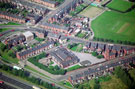 | w01056 Aerial view of Tinsley Infants School, Newburn Drive. Siemens Close at rear of school. Bawtry Road and Norborough Road in background. M1 in foreground |
Found 122908 records.