Search Results
Found 122908 records
| No | Image | Details | Add to Album |
|---|---|---|---|
| 1 | 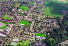 | w01027 Aerial view of Stocksbridge area. Stocksbridge School, Shay House Lane, left. Alpine Road (including Stocksbridge Nursery and Infant School) and Linden Crescent, foreground. St. Ann's RC School, McIntyre Road, centre | |
| 2 | 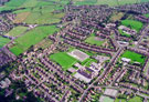 | w01028 Aerial view of Stocksbridge area. Stocksbridge School, Shay House Lane, centre. Victoria Road, Sheldon Road and Shay Road, foreground, left. Linden Crescent and McIntyre Road (including St. Ann's RC School, right). Glebelands Road, extreme left | |
| 3 | 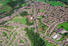 | w01029 Aerial view of Deepcar area. Royd Nursery Infants School, Carr Road and Deepcar St. John's C of E Junior School, St Margaret Avenue, in foreground, right. Wood Royd Road, left, centre. Roads on left include Armitage Road | |
| 4 | 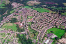 | w01030 Aerial view of Deepcar area. Royd Nursery Infants School, Carr Road and Deepcar St. John's C of E Junior School, St Margaret Avenue, in foreground, right. Wood Royd Road, left. Helliwell Lane passes through centre of picture | |
| 5 | 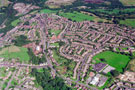 | w01031 Aerial view of Deepcar area. Royd Nursery Infants School, Carr Road and Deepcar St. John's C of E Junior School, St Margaret Avenue, in foreground, right. Wood Royd Road, left. Helliwell Lane passes through centre of picture | |
| 6 | 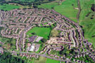 | w01032 Aerial view of Deepcar area. Royd Nursery Infants School, Carr Road and Deepcar St. John's C of E Junior School, St Margaret Avenue, in foreground. Coultas Avenue, bottom right. | |
| 7 | 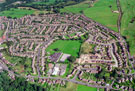 | w01033 Aerial view of Deepcar area. Royd Nursery Infants School, Carr Road and Deepcar St. John's C of E Junior School, St Margaret Avenue, in foreground. Coultas Avenue, bottom right. | |
| 8 | 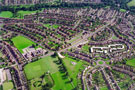 | w01034 Aerial view of High Green area. Mortomley Lane, Green Gate Lane (including Greengate Lane Junior and Infants School) and Mortomley Park, left. Roads on right include South Road, Greno View, Jeffcock Road and Vickers Road | |
| 9 | 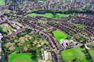 | w01035 Aerial view of High Green area. Green Gate Lane in foreground (including Greengate Lane School and Mortomley Park). Roads on right include School Road and Mapplebeck Road | |
| 10 | 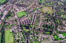 | w01036 Aerial view of Chapeltown area. Lound Junior School, Lound Side in foreground, left. Prominent roads in centre include Westbrook Road, Green Head Lane and Moorwoods Avenue |
Found 122908 records.