Search Results
Found 122908 records
| No | Image | Details | Add to Album |
|---|---|---|---|
| 1 | 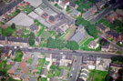 | w01017 Aerial view of High Street, Mosborough including St. Mark's Church. Mosborough Junior and Infant School, School Street, at rear. Cadman Street and Church Mews in foreground | |
| 2 |  | w01018 Aerial view of High Street, Mosborough including St. Mark's Church. Mosborough Junior and Infant School, School Street, at rear. | |
| 3 | 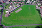 | w01019 Aerial view of Greenhill Primary School, Reney Road, left. Greenhill Main Road, rear. Greenhill Parkway in foreground | |
| 4 | 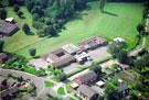 | w01020 Aerial view of St Thomas of Canterbury Roman Catholic School, Chancet Wood Drive, Meadowhead | |
| 5 | 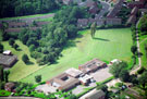 | w01021 Aerial view of St Thomas of Canterbury RC School, Chancet Wood Drive, Meadowhead | |
| 6 | 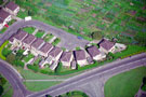 | w01022 Unidentified cul-de-sac | |
| 7 | 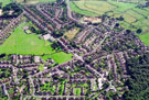 | w01023 Aerial view of Grenoside showing Community Centre and St. Marks' Church, Main Street (top to bottom of photo); Grenoside J and I School and Library (at the crossroads) Norfolk Hill (l to r middle of photo); and Grenoside Park (right) | |
| 8 |  | w01024 Aerial view of Grenoside showing Halifax Road (left); Grenoside Hospital and Council Offices(top); Community Centre and St. Mark's Church, Main Street (right); Grenoside J and I School, Norfolk Hill (bottom) | |
| 9 | 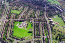 | w01025 Aerial view of Fox Hill Primary School, Keats Road, Foxhill. Cowper Crescent, foreground, Halifax Road, left. Carrill Road and Fox Hill Road, right. Wilcox Road and Browning Road in background | |
| 10 | 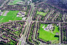 | w01026 Aerial view of Foxhill and Parson Cross area. Fox Hill Primary School, Keats Road, right. Chaucer School in background. Halifax Road and Cowper Crescent, centre. Chaucer Road and Wilcox Road, centre, left to right. Deerlands Avenue, bottom, left. |
Found 122908 records.