Search Results
Found 122908 records
| No | Image | Details | Add to Album |
|---|---|---|---|
| 1 | 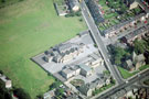 | w00927 Manor Lodge Primary School and St. Aidan's Church, City Road. Manor Lane, centre | |
| 2 |  | w00928 St. Oswald's RC School and The Catholic Church of Our Lady Queen of Heaven, Southend Road, Manor Park | |
| 3 | 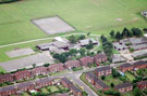 | w00929 Birley Primary School, Thornbridge Avenue | |
| 4 | 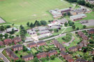 | w00930 Birley Secondary School and Birley Primary School, Thornbridge Avenue. Thornbridge Place in foreground | |
| 5 | 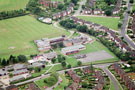 | w00931 Birley Secondary School and Birley Primary School, Thornbridge Avenue. Hayfield Drive and Hayfield Crescent, top | |
| 6 | 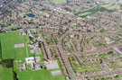 | w00932 Elevated view of Frecheville area | |
| 7 | 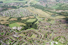 | w00933 Aerial view of Hackenthorpe area. Prominent roads in foreground include Birley Spa Lane, Spring Water Drive and Spa View Road. Birley Spa Primary School, Jermyn Crescent, centre. Dyke Vale Road and Mosborough Parkway in background | |
| 8 | 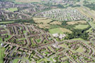 | w00934 Aerial view of Hackenthorpe area. Prominent roads in foreground include Occupation Lane, Birley Spa Lane and Spa View Road. Birley Spa Primary School, Jermyn Crescent and Jermyn Drive, centre | |
| 9 | 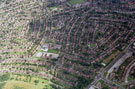 | w00935 Aerial view of Shiregreen area. Prominent roads in foreground include Hartley Brook Road (including Hartley Brook School), Hartley Brook Avenue, Barnsley Road and Kinnaird Crescent. Roads in centre of picture include Valentine Crescent and Gregg Hous | |
| 10 | 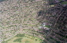 | w00937 Aerial view of Shiregreen area. Prominent roads in foreground include Hartley Brook Road (including Hartley Brook School), Hartley Brook Avenue and Nether Shire Lane. Roads in centre of picture include Gregg House Road and Shirehall Road |
Found 122908 records.