Search Results
Found 122908 records
| No | Image | Details | Add to Album |
|---|---|---|---|
| 1 | 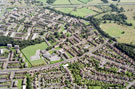 | w00917 Aerial view of Hemsworth area. Hemsworth Primary School, centre. Prominent roads in foreground include Blackstock Road, Backmoor Road, Ashbury Drive, Blackstock Crescent, Blackstock Close, Constable Road and Blackstock Drive. Oakes Park, top right | |
| 2 | 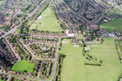 | w00918 Aerial view of Gleadless/Intake area. Gleadless Primary School, Hollinsend Road, centre. Prominent roads in foreground include Jaunty Lane, Elstree Road, Welwyn Road and Seagrave Crescent. Ridgeway Road, Ridgehill Avenue and Alnwick Road in backgrou | |
| 3 | 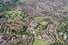 | w00919 General view of Broomhill/Crookes area. Prominent roads in foreground include Lydgate Lane (including Lydgate School), Manchester Road, Tapton Hill Road and Selborne Road. Roads in background include Ryegate Crescent and Ryegate Road and Crookes Ceme | |
| 4 | 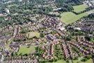 | w00920 Aerial view of Crookes/Broomhill area. Prominent roads in foreground include Lydgate Lane (including Lydgate School), Forres Road, Headland Drive, Headland Road and Marsh Lane. Roads in background include Tapton Hill Road and Ryegate Road | |
| 5 | 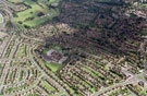 | w00921 Aerial view of Southey Green/Parson Cross area. Southey Green Primary School, centre. Prominent roads in foreground include Falstaff Road, Symons Crescent, Falstaff Crescent, Launce Road, Southey Green Road and Crowder Avenue | |
| 6 | 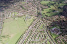 | w00922 Aerial view of Parson Cross. Parson Cross Park, left. Southey Green Primary School, Buchanan Road, Falstaff Road, Launce Road and Falstaff Crescent in foreground | |
| 7 | 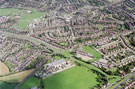 | w00923 Mansel Junior and Infant School, Chaucer Road/Yew Lane and Yewlands Secondary School, Creswick Lane. Prominent roads in foreground include Mansel Crescent and Mansel Road | |
| 8 | 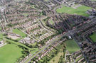 | w00924 Aerial view of Parson Cross/Foxhill area. Mansell Junior and Infant School, Chaucer Road, left. Halifax Road and Wilcox Road, foreground | |
| 9 | 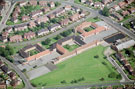 | w00925 Woodthorpe Primary School, Woodthorpe Road. Fishponds Road in background | |
| 10 | 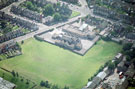 | w00926 Manor Lodge Primary School and St. Aidan's Church, Manor Lane. Warley Road and City Road in background |
Found 122908 records.