Search Results
Found 122908 records
| No | Image | Details | Add to Album |
|---|---|---|---|
| 1 | 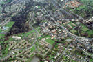 | w00896 Aerial view of Shirecliffe/Pitsmoor area. Prominent roads include Barnsley Road, Scott Road and Firshill Road, right. Firshill Crescent and Firshill Rise, left. Firs Hill School, centre | |
| 2 | 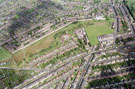 | w00897 Aerial view of Skye Edge / Wybourn area | |
| 3 | 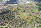 | w00898 Aerial view of Wybourn/Manor Park area. Manor Lane and Manor House ruins, right. Prominent roads on left include Boundary Road, Southend Road, Haslehurst Road and Maltravers Terrace | |
| 4 | 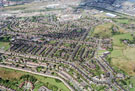 | w00899 Aerial view of Manor Park/Wybourn area. Prominent roads in foreground include Skye Edge Avenue, Haslehurst Road, Southend Road and Boundary Road. Manor Oaks Road in background | |
| 5 | 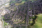 | w00900 Aerial view of Wybourn area. Maltravers Road and Maltravers Crescent, centre. Manor Oaks Road including Wybourn Primary School, right. Whites Lane in foreground | |
| 6 | 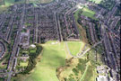 | w00901 Aerial view of Park and Wybourn area. Manor Oaks Road including Wybourn Primary School, left. Outram Road and Boundary Road, centre. Skye Edge Avenue, Manor Laithe Road and City Road, right | |
| 7 | 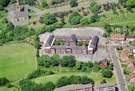 | w00902 Byron Wood Primary School, Earldom Road, Burngreave. Burngreave Cemetery in background | |
| 8 | 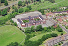 | w00903 Byron Wood Primary School, Earldom Road, Burngreave. Burngreave Cemetery in background | |
| 9 | 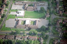 | w00904 Hartley Brook School, Hartley Brook Road, Shiregreen. Molineaux Road | |
| 10 | 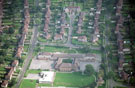 | w00905 Hartley Brook School, Hartley Brook Road, Shiregreen. Gregg House Road, left. Champion Road and Champion Close, centre. Molineaux Road, right |
Found 122908 records.