Search Results
Found 122908 records
| No | Image | Details | Add to Album |
|---|---|---|---|
| 1 | 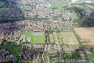 | w00876 Aerial view of Mosborough area. Rotherham Road on right. Halfway Middle School, left. Prominent roads in foreground include Borrowdale Road, Streetfields and Halfway Drive | |
| 2 | 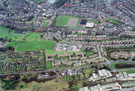 | w00877 Aerial view of Grimesthorpe area. Whiteways Middle School, centre. Grimesthorpe Road, foreground. Prominent roads include Earl Marshal Road, Margate Drive and Whiteways Road. Earl Marshal Campus, centre, in background | |
| 3 | 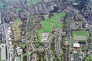 | w00878 Aerial view of Grimesthorpe / Firth Park area. Petre Street and Grimesthorpe Road, left. Whiteways Middle School, Whiteways Road, centre. Earl Marshal Road and Earl Marshal Campus, right | |
| 4 | 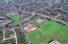 | w00879 Aerial view of Ecclesfield area. Monteney Middle School and construction on Monteney Nursery First School, centre. Prominent roads include Monteney Road and Monteney Crescent, left. Wordsworth Avenue, right | |
| 5 | 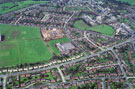 | w00880 Aerial view of Ecclesfield. Monteney Middle School and construction of Monteney First School, centre. Ecclesfield Town Primary School in background. Prominent roads include Wordsworth Avenue and Wheata Road, foreground. Monteney Avenue and Monteney R | |
| 6 |  | w00881 Aerial view of Tinsley area. M1 in foreground. Bawtry Road and St. Lawrence Road in background. Tinsley School and Tinsley Methodist Chapel, centre | |
| 7 | 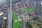 | w00882 Aerial view of Tinsley area. M1, left. Bawtry Road and St. Lawrence Road, centre. Tinsley Primary School and Tinsley Methodist Church, centre | |
| 8 | 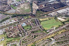 | w00883 Aerial view Wincobank and Brightside area. Vickers Works, top right. Jenkin Avenue in foreground. Jenkin Drive, Jenkin Road and Limpsfield Road, centre. Limpsfield Middle School, centre, right | |
| 9 | 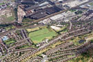 | w00884 Aerial view of Wincobank and Brightside area. Vickers Works, top centre. Jenkin Avenue and Beacon Way, foreground. Jenkin Drive and Limpsfield Road, left. Limpsfield Middle School, centre. Sandstone Road, Fort Hill Road and Beacon Road, bottom right | |
| 10 | 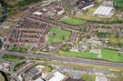 | w00885 Aerial view of Tinsley area. M1 and Bawtry Road in foreground. Roads in background include Harrowden Road and St. Lawrence Road. Tinsley Junior School, bottom right |
Found 122908 records.