Search Results
Found 122908 records
| No | Image | Details | Add to Album |
|---|---|---|---|
| 1 | 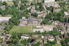 | w00845 Aerial view of King Edward VII Secondary School, Glossop Road. Clarkehouse Road in foreground. Newbould Lane, left | |
| 2 | 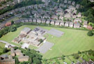 | w00846 Sir Harold Jackson Primary School , Bradway Drive. St. Quentin Drive in background | |
| 3 | 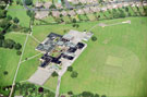 | w00847 Aerial view of King Ecgbert Secondary School, Mercia Site, Totley Brook Road | |
| 4 | 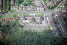 | w00848 Abbey Lane Primary School, Abbey Lane showing (right) Harbord Road | |
| 5 | 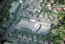 | w00849 Mundella Primary School, Mundella Place. Mount View Avenue in foreground, Derbyshire Lane, left | |
| 6 | 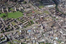 | w00850 Aerial view of Kelvin, Upperthorpe and Netherthorpe area. | |
| 7 | 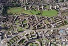 | w00851 Aerial view of Netherthorpe and Upperthorpe area. Prominent roads in foreground are Upperthorpe Road, Upper Allen Street, Weston Street and St. Philip's Road | |
| 8 | 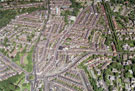 | w00852 Aerial view of Nether Edge and Broomhall area. Prominent roads include Brocco Bank, left. Ecclesall Road, Sharrow Vale Road, Cowlishaw Road and Junction Road (including Hunters Bar School), centre. | |
| 9 | 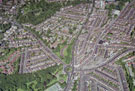 | w00853 Aerial view of Endcliffe, Broomhall and Nether Edge area. Prominent roads include Brocco Bank, left. Ecclesall Road, centre. Sharrow Vale Road and Junction Road (including Hunters Bar School), right | |
| 10 | 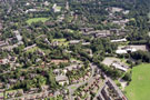 | w00854 Aerial view of Broomhill area. Manchester Road runs from top, left to bottom right. Ryegate Road in foreground. Lydgate Middle School and Tapton Hall. Hallam Tower Hotel, top left. Halls of Residence, top right |
Found 122908 records.