Search Results
Found 124626 records
| No | Image | Details | Add to Album |
|---|---|---|---|
| 1 | 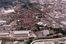 | s22724 Aerial view of St. Mary's area. Queen's Road and Duchess Road in foreground. Main roads in centre include Charlotte Road and St. Mary's Road. Bramall Lane Football Ground, top left | |
| 2 | 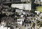 | s22725 Aerial view of Broomhill area. Weston Park Hospital and the University Sports Ground being redeveloped, Whitham Road, centre, Northumberland Road and Western Bank, right. Tree Root Walk, centre. Royal Hallamshire Hospital, bottom, left | |
| 3 | 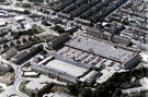 | s22728 Aerial view of Hillsborough Barracks, Langsett Road in background | |
| 4 | 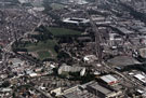 | s22729 Aerial view of Hillsborough showing Sheffield Wednesday Football Ground, top left, Regent Court Flats, Hillsborough Barracks and Hillsborough Park, centre, foreground. Roads include Penistone Road, right, Bradfield Road and Middlewood Road, left | |
| 5 | 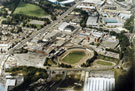 | s22730 Aerial view of Owlerton. Owlerton Stadium, Livesey Street, foreground. Penistone Road, left. Sheffield Wednesday Football Ground, top centre, and Owlerton Stadium | |
| 6 | 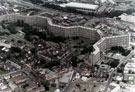 | s22731 Aerial view of Kelvin Flats area. Roads in foreground include Albert Terrace, Upperthorpe Road and Daniel Hill (including Upperthorpe Baths). Infirmary Road in background | |
| 7 |  | s22732 Aerial view of Crookes. St. Thomas' Church, is on the top left. Wesley Hall Methodist Church and former Crookes Endowed School (now Centre), top right. Roads in foreground include Coombe Road, Elgin Street and Carson Road | |
| 8 |  | s22736 Group of women making chapattis at the Pakistan Muslim Centre, Woodbourn Road | |
| 9 |  | s22737 Chinese New Year Lion Dancers at Parson Cross Library, Margetson Crescent | |
| 10 |  | s22758 Laundry workers, Royal Hallamshire Hospital |
Found 124626 records.