Search Results
Found 124626 records
| No | Image | Details | Add to Album |
|---|---|---|---|
| 1 | 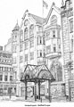 | s22701 Entrance to Orchard Square, Fargate | |
| 2 | 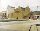 | s22705 Tudor Square | |
| 3 | 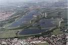 | s22716 Aerial view of Rother Valley Country Park | |
| 4 | 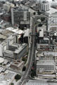 | s22717 Charter Row with the Grosvenor House Hotel, top right. Fitzwilliam Gate and Fitzwilliam Street in foreground. Offices on left include Eldon House (telephone exchange), Milton House and Telephone House | |
| 5 | 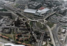 | s22718 Aerial view showing Ponds Forge Sports Centre, Park Square and part of Park Hill Flats. Duke Street, centre. Sheaf Street and Commercial Street, top. Pond Street bus station, top left | |
| 6 | 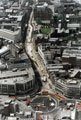 | s22719 Aerial view of High Street and Church Street during Supertram construction and showing the Hole in the Road being filled in. Cathedral SS Peter and Paul, top right | |
| 7 | 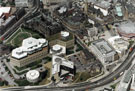 | s22720 Aerial view of the City Centre, showing the Town Hall and extension, Register Office, Central Library, Novotel, Lyceum and Crucible Theatre. Arundel Gate, foreground. Surrey Street and Norfolk Street, centre. St. Marie's RC Church, top right. | |
| 8 | 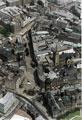 | s22721 Aerial view of Fargate area. Town Hall, foreground. St. Marie's RC Church, Norfolk Row, centre, right. High Street, top | |
| 9 | 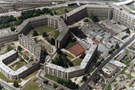 | s22722 Aerial view of Park Hill Flats. Duke Street, right | |
| 10 |  | s22723 Aerial view of Barker's Pool (including Cole Brothers and City Hall), top right, Division Street, centre and Central Fire Station, Rockingham Street, far right |
Found 124626 records.