Search Results
Found 123551 records
| No | Image | Details | Add to Album |
|---|---|---|---|
| 1 | 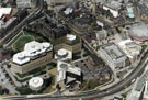 | s22720 Aerial view of the City Centre, showing the Town Hall and extension, Register Office, Central Library, Novotel, Lyceum and Crucible Theatre. Arundel Gate, foreground. Surrey Street and Norfolk Street, centre. St. Marie's RC Church, top right. | |
| 2 | 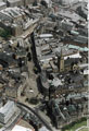 | s22721 Aerial view of Fargate area. Town Hall, foreground. St. Marie's RC Church, Norfolk Row, centre, right. High Street, top | |
| 3 | 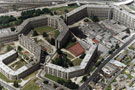 | s22722 Aerial view of Park Hill Flats. Duke Street, right | |
| 4 |  | s22723 Aerial view of Barker's Pool (including Cole Brothers and City Hall), top right, Division Street, centre and Central Fire Station, Rockingham Street, far right | |
| 5 | 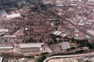 | s22724 Aerial view of St. Mary's area. Queen's Road and Duchess Road in foreground. Main roads in centre include Charlotte Road and St. Mary's Road. Bramall Lane Football Ground, top left | |
| 6 | 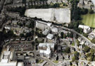 | s22725 Aerial view of Broomhill area. Weston Park Hospital and the University Sports Ground being redeveloped, Whitham Road, centre, Northumberland Road and Western Bank, right. Tree Root Walk, centre. Royal Hallamshire Hospital, bottom, left | |
| 7 | 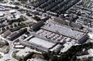 | s22728 Aerial view of Hillsborough Barracks, Langsett Road in background | |
| 8 | 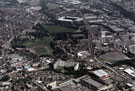 | s22729 Aerial view of Hillsborough showing Sheffield Wednesday Football Ground, top left, Regent Court Flats, Hillsborough Barracks and Hillsborough Park, centre, foreground. Roads include Penistone Road, right, Bradfield Road and Middlewood Road, left | |
| 9 | 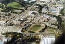 | s22730 Aerial view of Owlerton. Owlerton Stadium, Livesey Street, foreground. Penistone Road, left. Sheffield Wednesday Football Ground, top centre, and Owlerton Stadium | |
| 10 | 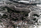 | s22731 Aerial view of Kelvin Flats area. Roads in foreground include Albert Terrace, Upperthorpe Road and Daniel Hill (including Upperthorpe Baths). Infirmary Road in background |
Found 123551 records.