Search Results
Found 123551 records
| No | Image | Details | Add to Album |
|---|---|---|---|
| 1 | 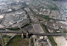 | s22645 Aerial view of Meadowhall Shopping Centre and surrounding area. The M1 Tinsley Viaduct cuts across the bottom of the picture leading to junction 34 (bottom right). Former cooling towers of Blackburn Meadows power station in foreground | |
| 2 | 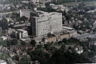 | s22646 Elevated view of Royal Hallamshire Hospital, Glossop Road | |
| 3 | 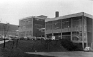 | s22647 Nether Edge Hospital | |
| 4 | 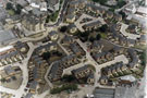 | s22648 Broomhall, showing the new housing development with Springfield Junior and Infant School, Cavendish Street, top left, Domino Pub, bottom right. Headford Grove, left. Broom Walk and Broom Green, centre. Egerton Walk and Cavendish Court, right | |
| 5 | 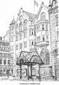 | s22701 Entrance to Orchard Square, Fargate | |
| 6 | 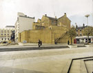 | s22705 Tudor Square | |
| 7 | 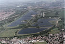 | s22716 Aerial view of Rother Valley Country Park | |
| 8 | 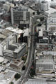 | s22717 Charter Row with the Grosvenor House Hotel, top right. Fitzwilliam Gate and Fitzwilliam Street in foreground. Offices on left include Eldon House (telephone exchange), Milton House and Telephone House | |
| 9 | 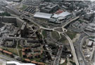 | s22718 Aerial view showing Ponds Forge Sports Centre, Park Square and part of Park Hill Flats. Duke Street, centre. Sheaf Street and Commercial Street, top. Pond Street bus station, top left | |
| 10 | 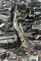 | s22719 Aerial view of High Street and Church Street during Supertram construction and showing the Hole in the Road being filled in. Cathedral SS Peter and Paul, top right |
Found 123551 records.