Search Results
Found 124626 records
| No | Image | Details | Add to Album |
|---|---|---|---|
| 1 | 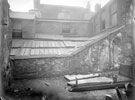 | u03304 Unidentified court | |
| 2 | 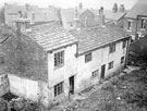 | u03307 Derelict cottages at unidentified location | |
| 3 | 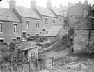 | u03308 Rear of unidentified street | |
| 4 | 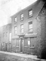 | u03310 No. 5, Holly Street, situated between the portion of Trippet Lane and Bow Street, demolished to make way for street improvements, was originally the King William Inn | |
| 5 | 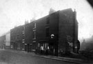 | u03312 Demolition of back to back houses, Arundel Street, between Sylvester Lane and Sylvester Gardens. Court No. 15 at rear of properties. People are gathered outside what was formerly No 293, Beerhouse, known as the Gas Tank Tavern | |
| 6 |  | u03313 Unidentified Slum Property | |
| 7 | 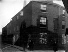 | u03314 Unidentified street | |
| 8 | 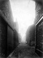 | u03315 Unidentified street | |
| 9 |  | u03463 Unidentified graduate, possibly of the Patrickson family | |
| 10 | 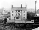 | u03483 Derelict premises of J. Lockwood and Edwards Ltd., 281 Penistone Road, formerly Army Hotel also known as Clifton Hotel near Hill Foot Bridge building demolished late 1960's |
Found 124626 records.