Search Results
Found 124626 records
| No | Image | Details | Add to Album |
|---|---|---|---|
| 1 | 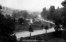 | s18989 Rivelin Valley Road, Malin Bridge, near the cemetery, Spooner Wheel can be seen in background on left, 1895-1915 | |
| 2 | 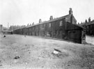 | s19099 Ropery Row, Park, off Lord Street, 1925-1935 | |
| 3 | 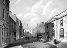 | s19170 St. James' Street from St. James' Row, 1820-1850, looking towards St. James' Church, premises include No. 1 Stamp Office and J. and W. Brown, solicitors, left, No. 2 the vicarage of Cathedral SS Peter and Paul, right | |
| 4 | 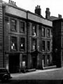 | s19203 Broadbent House, also known as 'The Old Banker's House', No. 3 Hartshead, St. Peter's Close under arch, 1945-55 | |
| 5 | 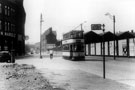 | s19260 Tram No. 109 passing Thomas W. Ward Ltd., Savile Street, at junction of Attercliffe Road, looking towards the Wicker Goods Station and Depot | |
| 6 | 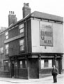 | s19506 Milton's Head Inn, Nos. 29 - 31 Allen Street at the junction with Smithfield | |
| 7 | 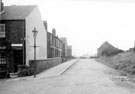 | s19777 No. 79 Dearne Street looking towards Nos. 13-17, Stupton Road, Nos. 21 and 23, Limpsfield Road (left) and Nos. 16, Limpsfield Road and Nos. 72-78, Stupton Road (right) with the allotments in the background | |
| 8 | 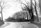 | s19780 Looking towards junction of Stumperlowe Hall Road and Stumperlowe Lane from Slayleigh Lane, 1915-1925. Stumperlowe Grange, left | |
| 9 | 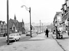 | s19784 Stubbin Lane looking towards the roundabout and Firth Park Road showing Firth Park United Methodist Church and various shops including No. 3 H. E. Purcells, fancy goods | |
| 10 | 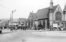 | s19785 Firth Park United Methodist Church and Sunday School showing Firth Park roundabout looking towards Stubbin Lane |
Found 124626 records.