Search Results
Found 124626 records
| No | Image | Details | Add to Album |
|---|---|---|---|
| 1 | 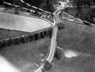 | s12419 Aerial view - Hathersage Road and Limb Lane at Whirlow, Whirlow Bridge Inn in background | |
| 2 | 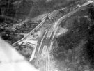 | s12420 Aerial view - Dore and Totley railway station, Abbeydale Road South | |
| 3 | 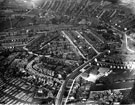 | s12426 Aerial view -Woodseats including Linden Avenue leading to Camping Lane, Abbey Lane and Abbey Lane School, foreground, Chesterfield Road in background | |
| 4 | 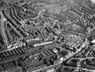 | s12428 Aerial view - Heeley | |
| 5 | 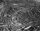 | s12432 Aerial view - Heeley | |
| 6 | 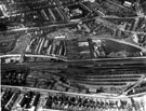 | s12434 Aerial view - Heeley towards Sharrow | |
| 7 | 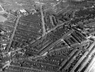 | s12437 Aerial view - Highfield and Sharrow including Club Garden Walk and Sharrow Street, foreground, London Road, Hill Street and Alderson Road, centre, Bramall Lane and Football Ground, rear | |
| 8 | 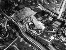 | s12444 Aerial view - Norton Hammer and Woodseats, Smithy Wood Crescent and Woodside Brick Co. Ltd., Chesterfield Road, foreground, Derbyshire Lane and Crawford Road, rear | |
| 9 |  | s12457 Broomhill police station, Spooner Road | |
| 10 |  | s12458 West Riding Constabulary police station, Deepcar |
Found 124626 records.