Search Results
Found 124626 records
| No | Image | Details | Add to Album |
|---|---|---|---|
| 1 | 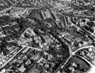 | s12392 Aerial view - Sharrow and Nether Edge | |
| 2 |  | s12393 Aerial view - Sharrow including (left-right) Pearl Street, Cemetery Road, Grange Crescent, foreground, Sharrow Lane and Institute for the Blind, centre | |
| 3 |  | s12394 Aerial view - Brincliffe including (left-right) John Gregory and Son Ltd., brick manufacturers, No. 847 Ecclesall Road and Greystones Road in foreground, Hunter House Road, Psalter Lane and Boys' Charity (Blue Coat) School in background | |
| 4 | 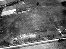 | s12399 Aerial view - Balfour Sports Ground, Ash House Lane | |
| 5 | 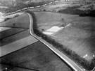 | s12400 Aerial view - Hathersage Road to Whirlow Bridge, Balfour Sports Ground | |
| 6 |  | s12402 Aerial view - Laverdene Estate, Bradway / Totley including (left-right) construction of Green Oak Road, Aldam Road, Mickley Lane, Laverdene Avenue and Glover Road, foreground, Baslow Road, rear | |
| 7 | 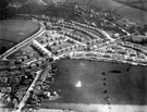 | s12404 Aerial view - Totley | |
| 8 | 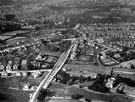 | s12415 Aerial view - Ecclesall looking towards Greystones including, (left-right) Hoober Road, Ecclesall Road South and Holmwood in foreground, Knowle Lane, Millhouses Lane, Woodholm Road and Silverdale Crescent, centre, All Saints' Church can be seen in di | |
| 9 | 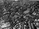 | s12417 Aerial view - Ranmoor / Endcliffe looking towards Broomhill | |
| 10 | 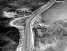 | s12418 Aerial view - Hathersage Road, Devil's Elbow |
Found 124626 records.