Search Results
Found 124626 records
| No | Image | Details | Add to Album |
|---|---|---|---|
| 1 | 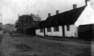 | s11635 Old Cottages, Bawtry Road, Tinsley (destroyed 1908) | |
| 2 | 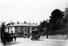 | s11660 General view looking towards junctions of Machon Bank Road (right) and Nether Edge Road (left), from Moncrieffe Road, cabman's shelter (later became the tram terminus) and Nether Edge Market, in distance | |
| 3 |  | s11675 Chantrey Road, Woodseats | |
| 4 | 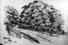 | s11683 General view of Sharrow Vale | |
| 5 | 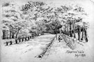 | s11684 General view of Sharrow Vale | |
| 6 | 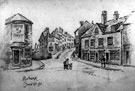 | s11689 Junction of Harvest Lane/Pyebank (later Pitsmoor Road) from the junction with Mowbray Street/ Bridgehouses, showing the Hope and Anchor public house (2 Mowbray Street) | |
| 7 |  | s11693 General view of Fulwood showing Forge Dam in foreground | |
| 8 | 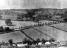 | s11694 Elevated view of Shepherd Wheel and Hangingwater Road | |
| 9 | 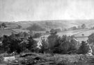 | s11695 General view from Fulwood Churchyard, showing Ringinglow on the opposite hills | |
| 10 | 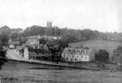 | s11697 Fulwood from the South - West, Brookhouse Hill in foreground |
Found 124626 records.