Search Results
Found 7279 records
| No | Image | Details | Add to Album |
|---|---|---|---|
| 1 |  | y18016 Sketch plan used to illustrate The Replanning of Sheffield by R D Bennett. Map No 5 Milton Street area | |
| 2 |  | y18017 Sketch plan used to illustrate The Replanning of Sheffield by R D Bennett. Map No 6 Arundel Street area - 'suggested works-flats' | |
| 3 |  | y18019 Geographia plan of Sheffield, [1937] | |
| 4 |  | y18021 Plan of Sheffield | |
| 5 | 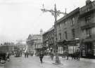 | t16723 Haymarket showing (right) No. 12 The Yellow Lion Hotel and (centre) Norfolk Market Hall | |
| 6 | 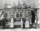 | t16727 Sheffield Corporation Tramways. Tram No. 16 | |
| 7 | 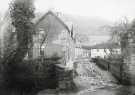 | t16728 Norton Hammer Lane | |
| 8 | 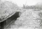 | t16726 Construction of Darnall railway tunnel | |
| 9 | 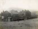 | u13943 Gower Street, Burngreave | |
| 10 | 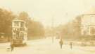 | t16667 Tram No.148 possibly at Nether Edge |
Found 7279 records.