Search Results
Found 6973 records
| No | Image | Details | Add to Album |
|---|---|---|---|
| 1 | 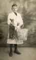 | t17174 Clayton family member carrying rabbits and a bag for George Clayton, fishmonger | |
| 2 | 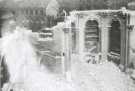 | w02989 Demolition of St. Paul C. of E. Church, Pinstone Street | |
| 3 | 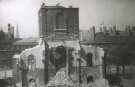 | w02990 Demolition of St. Paul C. of E. Church, Pinstone Street | |
| 4 | 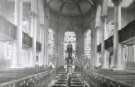 | w02991 St. Paul C. of E. Church, Pinstone Street | |
| 5 | 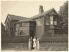 | a09317 No. 2 Norwood Road, c.1937 | |
| 6 | 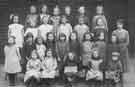 | a09323 Lindsay Road School, Lindsay Road. Standard IIIB, c.1920 | |
| 7 | ![Upperthorpe School, [Daniel Hill], c.1920](https://www.picturesheffield.com/imagefiles/jpgs_sheffield3//a09325.jpg "Upperthorpe School, [Daniel Hill], c.1920") | a09325 Upperthorpe School, [Daniel Hill], c.1920 | |
| 8 | ![Class photograph names, (rear of post card) Upperthorpe School, [Daniel Hill], c.1920](https://www.picturesheffield.com/imagefiles/jpgs_sheffield3//a09326.jpg "Class photograph names, (rear of post card) Upperthorpe School, [Daniel Hill], c.1920") | a09326 Class photograph names, (rear of post card) Upperthorpe School, [Daniel Hill], c.1920 | |
| 9 | ![[Batty Langley, timber merchants, Sheaf Saw Mills, off River Lane], or Darwins Ltd., c. 1920](https://www.picturesheffield.com/imagefiles/jpgs_sheffield3//a09327.jpg "[Batty Langley, timber merchants, Sheaf Saw Mills, off River Lane], or Darwins Ltd., c. 1920") | a09327 [Batty Langley, timber merchants, Sheaf Saw Mills, off River Lane], or Darwins Ltd., c. 1920 | |
| 10 | 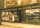 | a09366 Wallis's drapery and boot and shoe store, No. 266 Langsett Road, c.1936 |
Found 6973 records.