Search Results
Found 9973 records
| No | Image | Details | Add to Album |
|---|---|---|---|
| 1 |  | arc04597 Map of Attercliffe, [c. 1815 - 1849] | |
| 2 |  | arc04600 Plan of building lots on Park Hill, extending from the Canal Basin to Shrewsbury Street, and east to Park Hill Lane, c. 1800 | |
| 3 |  | y18007 A Map of the Town and Environs of Sheffield in the West Riding of the County of York | |
| 4 |  | y18008 A Map of the Town and Environs of Sheffield in the West Riding of the County of York | |
| 5 | 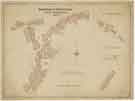 | y18009 Borough of Sheffield Street Improvements | |
| 6 | 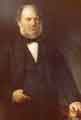 | h02437 William Jessop benefactor of Jessop Hospital for Women, Leavygreave Road | |
| 7 | 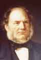 | h02438 William Jessop benefactor of Jessop Hospital for Women, Leavygreave Road | |
| 8 | 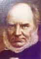 | h02439 William Jessop benefactor of Jessop Hospital for Women, Leavygreave Road | |
| 9 | 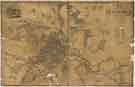 | y18033 Map of the Town and Environs of Sheffield in the West Riding of the County of York | |
| 10 |  | y18036 Map of Sheffield showing local government wards |
Found 9973 records.