Search Results
Found 15428 records
| No | Image | Details | Add to Album |
|---|---|---|---|
| 1 |  | rb00114 Site for the Crucible Theatre off (right) Norfolk Street as seen from Arundel Gate | |
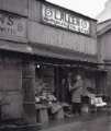
| 2 |  | rb00134 L. Allen, ironmonger and tool dealer, No. 6 Sheaf Market | |
| 3 |  | rb00116 Commercial Street from Sheaf Street showing (centre) Wheel Hill and Electricity Supply Offices, (right) Commercial Street Bridge, Barclays Bank and Turners Tool Stores Ltd. | |
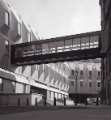
| 4 |  | rb00133 Town Hall extension (known as the Egg Box (Eggbox)) with extension bridge to the old Town Hall | |
| 5 |  | rb00132 Elderly Sheffield man reading a newspaper | |
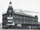
| 6 |  | rb00131 Moor Sale Rooms, Sheffield Thrift Centre (former premises of Newton Chambers Ltd.,Newton House, stove grate dealers), junction of (foreground) Furnival Gate and (left) Union Street | |
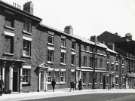
| 7 |  | rb00122 Northern side of Bank Street, Nos. 20 - 40. | |
| 8 |  | rb00125 Town Hall at night from Fargate showing (left) Yorkshire Bank Ltd.and (right) the Goodwin Fountain | |
| 9 |  | rb00126 Man on a bench in grounds of the Upper Chapel, Norfolk Street | |
| 10 |  | rb00127 Sheffield man smoking his pipe |
Found 15428 records.