Search Results
Found 33 records
| No | Image | Details | Add to Album |
|---|---|---|---|
| 1 | 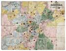 | arc00047 Map of the Town and Environs of Sheffield | |
| 2 | 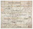 | arc00048 Plan showing drainage districts and main sewers | |
| 3 | 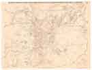 | y09165 Map of the Town of Sheffield with the licensed public houses, beer shops, grocers and other licenses, marked thereon | |
| 4 | 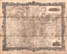 | y09450 Sheffield, a new plan of Sheffield reduced from the Ordnance Survey and comprises all the subsequent improvements, new streets etc from 1850 to 1873 | |
| 5 |  | y09469 Plan of Sheffield | |
| 6 |  | y11700 Plan of Sheffield, c. 1880 | |
| 7 | 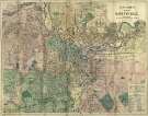 | y15494 Bacon's large scale plan of Sheffield, possibly 1890s | |
| 8 | 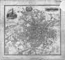 | arc01959 Plan of Sheffield, published with W White's History and Directory of Yorkshire | |
| 9 | 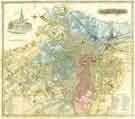 | y09225 Plan of Sheffield | |
| 10 | 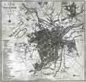 | y09447 A Plan of Sheffield in 1823 (with Ralph Gosling's map of Sheffield in 1736 in top right hand corner) |
Found 33 records.