Search Results
Found 523 records
| No | Image | Details | Add to Album |
|---|---|---|---|
| 1 | 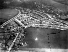 | s12404 Aerial view - Totley | |
| 2 | 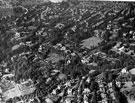 | s12417 Aerial view - Ranmoor / Endcliffe looking towards Broomhill | |
| 3 | 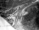 | s12420 Aerial view - Dore and Totley Station, Abbeydale Road South | |
| 4 | 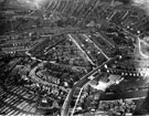 | s12426 Aerial view -Woodseats including Linden Avenue leading to Camping Lane, Abbey Lane and Abbey Lane School, foreground, Chesterfield Road in background | |
| 5 | 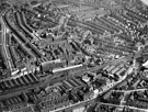 | s12428 Aerial view - Heeley | |
| 6 | 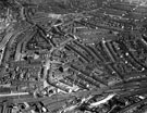 | s12432 Aerial view - Heeley | |
| 7 | 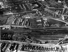 | s12434 Aerial view - Heeley towards Sharrow | |
| 8 | 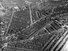 | s12437 Aerial view -Highfield and Sharrow including Club Garden Walk and Sharrow Street, foreground, London Road, Hill Street and Alderson Road, centre, Bramall Lane and Football Ground, rear | |
| 9 | 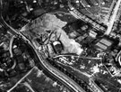 | s12444 Aerial view - Norton Hammer and Woodseats, Smithy Wood Crescent and Woodside Brick Co. Ltd., Chesterfield Road, foreground, Derbyshire Lane and Crawford Road, rear | |
| 10 | 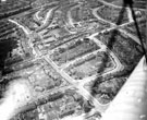 | s22726 Aerial view of Parson Cross Estate. Roads in foreground include Barrie Road, Barrie Drive and Barrie Crescent. Galsworthy Road, centre, back. Roads in background include Donovan Road, Morgan Avenue and Pollard Crescent |
Found 523 records.