Search Results
Found 523 records
| No | Image | Details | Add to Album |
|---|---|---|---|
| 1 | 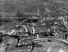 | s12367 Aerial view - Crowland Road, Hereward Road (bottom of picture), Elm Lane and Deerlands Avenue (across centre) | |
| 2 |  | s12372 Aerial view - Shiregreen Estate under construction showing roads including Shirehall Road, Shirehall Crescent (bottom of picture), Wood Road and Sycamore House Road (top of picture) with Woolley Wood (top of picture) | |
| 3 | 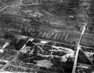 | s12381 Aerial view - Atlas and Norfolk Works, Carlisle Street, Forncett Street, Carwood Road, Lyons Street, River Don and Muntion Huts on Munition Street(bottom of picture) | |
| 4 | 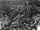 | s12385 Aerial view - Broomhill towards Sharrow including (left-right) King Edward VII School, Newbould Lane leading to Clarkegrove Rd, Sheffield Girls High School and Rutland Park, foreground, Clarkehouse Road, centre, Sharrow and General Cemetery in distan | |
| 5 | 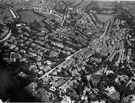 | s12387 Aerial view - Broomhill | |
| 6 | 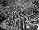 | s12388 Aerial view - Broomhall / Broomhill towards Sharrow | |
| 7 | 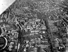 | s12390 Aerial view - Nether Edge | |
| 8 | 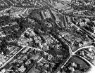 | s12392 Aerial view - Sharrow and Nether Edge | |
| 9 | 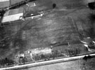 | s12399 Aerial view - Balfour Sports Ground, Ash House Lane | |
| 10 | 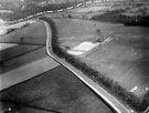 | s12400 Aerial view - Hathersage Road to Whirlow Bridge, Balfour Sports Ground |
Found 523 records.