Search Results
Found 523 records
| No | Image | Details | Add to Album |
|---|---|---|---|
| 1 | 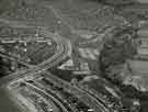 | s46292 Aerial view of the Manor Housing Estate showing (left centre) junction of Prince of Wales Road and City Road and (centre) Prince Edward Primary School | |
| 2 | 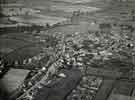 | s46293 Aerial view of Woodhouse showing (left) Stradbroke Road and Sheffield Road | |
| 3 | 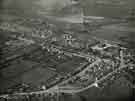 | s46294 Aerial view of Handsworth showing (centre) Handsworth Road and (right) Laverack Street and Richmond Road | |
| 4 | 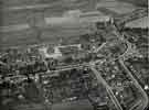 | s46295 Aerial view of Handsworth showing (centre) Handsworth Road (right) Retford Road and (bottom right) Laverack Street and Richmond Road | |
| 5 |  | s46302 Aerial view of Lodge Moor Hospital | |
| 6 |  | s46303 Aerial view of Lodge Moor Hospital | |
| 7 | 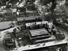 | s46321 View of Castle Hill Market showing (bottom) Castlegate and (right) Waingate and Haymarket | |
| 8 | 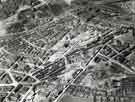 | s46355 Aerial view of the Park area of Sheffield. | |
| 9 | 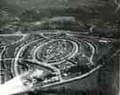 | s46358 Aerial view of Brushes Housing Estate | |
| 10 | 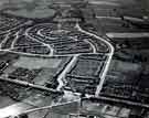 | s46359 Aerial view of Stubbin Housing Estate |
Found 523 records.