Search Results
Found 523 records
| No | Image | Details | Add to Album |
|---|---|---|---|
| 1 | 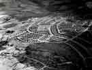 | s46281 Aerial view of Brushes Housing Estate | |
| 2 | 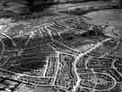 | s46282 Aerial view of Brushes Housing Estate | |
| 3 | 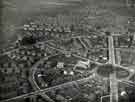 | s46283 Aerial view of Manor Estate showing (centre) St. Swithun C. of E. Church, No. 2 Cary Road | |
| 4 |  | s46284 Aerial view of Ranmoor showing (top left) Thornbury, (centre) St. John C. of E. Church, Fulwood Road | |
| 5 | 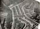 | s46286 Aerial view of Firvale area (Hucklow Road School top left and Page Hall Cinema (bottom right) | |
| 6 |  | s46287 Aerial view of Woodhouse area showing (centre) Woodhouse School on Station Road and Balmoral Road | |
| 7 |  | s46288 Aerial view of the Longley Housing Estate | |
| 8 | 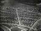 | s46289 Aerial view of the Manor Housing Estate | |
| 9 |  | s46290 Aerial view of the Manor Housing Estate showing (bottom) City Road and (top centre) St. Swithun C. of E. Church, No. 2 Cary Road | |
| 10 | 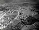 | s46291 Aerial view of the Manor Housing Estate |
Found 523 records.