Search Results
Found 523 records
| No | Image | Details | Add to Album |
|---|---|---|---|
| 1 |  | s46267 Aerial view of Dore | |
| 2 | 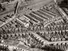 | s46268 Aerial view of Nether Edge and Millhouses showing (top left) Abbeydale Road and Woodseats Road and (centre) Carter Knowle Road | |
| 3 | 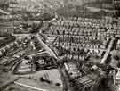 | s46269 Aerial view of Ecclesall showing (top right) Banner Cross Hall, (top left) All Saints C. of E. Church, Ecclesall Road South and (centre left) Weetwood House | |
| 4 | 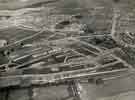 | s46270 Aerial view of Shiregreen Housing Estate | |
| 5 |  | s46271 Aerial view of Shiregreen Estate under construction showing (bottom) Shirehall Road, Shirehall Crescent, (top) Wood Road, Sycamore House Road and Woolley Wood | |
| 6 | 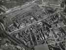 | s46273 Aerial view of the Wicker area showing (centre left) Royal Victoria Hotel, (top centre) Arthur Balfour and Co., Willey Street and (top right) Castle Markets | |
| 7 | 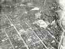 | s46276 Aerial view of City Centre showing (centre right) City Hall and (right) Pinstone Street | |
| 8 | 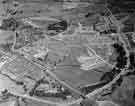 | s46277 Aerial view of Parson Cross | |
| 9 | 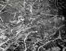 | s46279 Aerial view of Netherthorpe, Wicker, Burngreave and City Centre areas showing (top right) Victoria Station and the Royal Victoria Hotel | |
| 10 | 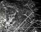 | s46280 Aerial view of City Centre and Park areas showing (top right) Sheffield Midland railway station, (bottom centre) and (top left) Central Library |
Found 523 records.