Search Results
Found 523 records
| No | Image | Details | Add to Album |
|---|---|---|---|
| 1 | 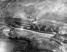 | u08784 Neepsend Power Station from the air | |
| 2 | 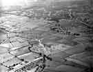 | u09871 Aerial view showing Longley and Parson Cross | |
| 3 | 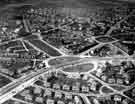 | s43689 Aerial view of Manor estate under construction | |
| 4 | 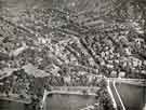 | s46272 Aerial view of Netherthorpe and Broomhill showing (centre left) University of Sheffield, Western Bank and Weston Park and (bottom) Crookes Valley Park | |
| 5 | 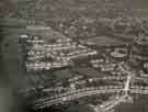 | s46261 Aerial view of Fulwood | |
| 6 |  | s46262 Aerial view of Woodhouse showing (centre left) Woodhouse County Junior School, Station Road | |
| 7 | 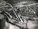 | s46263 Aerial view of Millhouses showing (top left) Abbeydale Road and (top right) Abbeydale Road South and Millhouses Park | |
| 8 | 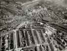 | s46264 Aerial view of The Wicker and Burngreave showing (top left) Victoria Station and The Royal Victoria Hotel | |
| 9 | 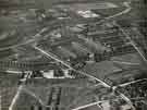 | s46265 Aerial view of Tinsley showing (bottom left) Tinsley Munitions Huts and Tinsley Infants School | |
| 10 |  | s46266 Aerial view of Ecclesfield showing the Station Road area |
Found 523 records.