Search Results
Found 523 records
| No | Image | Details | Add to Album |
|---|---|---|---|
| 1 | 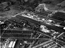 | s12441 Aerial view -Lowfield and Norfolk Park | |
| 2 | 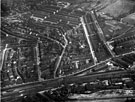 | s12442 Aerial view - Meersbrook | |
| 3 | 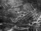 | s12443 Aerial view - Meersbrook | |
| 4 | 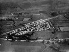 | s12446 Aerial view - Gleadless, East Bank Road, foreground, Ridgeway Road, Ridgeway Crescent, Ridgeway Drive and Corker Road, centre | |
| 5 | 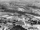 | s22633 City General Hospital with Firth Park in background (later became Northern General Hospital). Herries Road in foreground | |
| 6 | 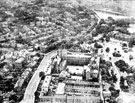 | u00515 Aerial view - Western Bank (left), University of Sheffield (centre) and Weston Park (right). Godfrey Dam in background | |
| 7 | 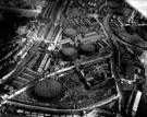 | u01208 Aerial view - Neepsend Lane and Park Wood Road showing Sheffield Gas Company, L.N.E.R. Railway and River Don | |
| 8 | 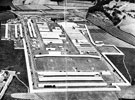 | u03685 Aerial view of the Great Yorkshire Show, Coal Aston Aerodrome, 1935-36 | |
| 9 | 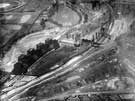 | u08782 Neepsend Power Station from the air | |
| 10 | 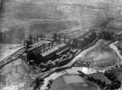 | u08783 Neepsend Power Station from the air |
Found 523 records.