Search Results
Found 523 records
| No | Image | Details | Add to Album |
|---|---|---|---|
| 1 | 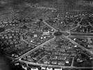 | s12422 Aerial view - Manor Estate, roads including Windy House Lane, Wulfric Road (through centre), Fitzhubert Road and City Road (bottom of picture), showing St. Swithun's Church and Stand House Council School, Queen Mary Road | |
| 2 | 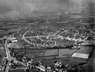 | s12424 Aerial view - Manor Estate roads including Prince of Wales Road, City Road and Woodhouse Road (bottom of picture) showing Common Farm (bottom) and St. Swithun's Church | |
| 3 | 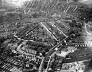 | s12427 Aerial view - Woodseats including Linden Avenue leading to Camping Lane, Abbey Lane and Abbey Lane School, foreground, Marshall Road and Mitchell Road, centre, Chesterfield Road in background | |
| 4 | 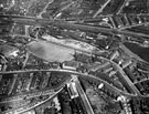 | s12430 Aerial view - Heeley / Nether Edge | |
| 5 |  | s12431 Aerial view - Heeley towards Sharrow | |
| 6 | 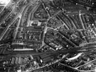 | s12433 Aerial view - Heeley | |
| 7 |  | s12435 Aerial view - Arbourthorne Estate under construction | |
| 8 | 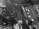 | s12438 Aerial view of Lowfield | |
| 9 |  | s12439 Aerial view - Lowfield and Norfolk Park | |
| 10 | 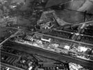 | s12440 Aerial view - Lowfield and Norfolk Park |
Found 523 records.