Search Results
Found 523 records
| No | Image | Details | Add to Album |
|---|---|---|---|
| 1 | 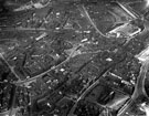 | s12344 Aerial view - City Centre towards Wicker, including Cathedral, Church Street and High Street, bottom right, Campo Lane, West Bar, Snig Hill, centre, Wicker, River Don and Wicker Arches in background | |
| 2 | 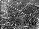 | s12346 Aerial view - City Centre and St. Mary's including St. Mary's Road to left of St. Mary's Church, Britannia Brewery, Clough Road, right of church, Bramall Lane, front of church, Brunswick Chapel and The Moor in foreground and Vulcan Works behi | |
| 3 | 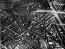 | s12349 Aerial view - City Centre | |
| 4 | 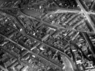 | s12351 Aerial view - City Centre | |
| 5 | 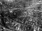 | s12352 Aerial view - City Centre towards Midland Station (Sheaf Street) and Park Hill, (from left to right) High Street, Norfolk Street, Norfolk Row (note St. Marie's church) and Surrey Street in foreground, St. Luke's Church can be seen behind station | |
| 6 | 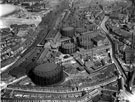 | s12359 Aerial view - Neepsend Lane and Park Wood Road showing Sheffield Gas Company, L.N.E.R. Railway and River Don | |
| 7 | 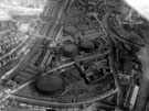 | s12361 Aerial view - Neepsend Lane and Park Wood Road showing Sheffield Gas Company, L.N.E. Railway and River Don | |
| 8 | 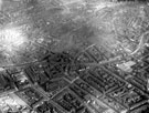 | s12362 Aerial view - St. Philip's Church, Penistone Road and Neepsend Bridge (centre) and Corporation Street Bridge (top right) over the River Don | |
| 9 | 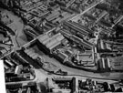 | s12363 Aerial view - Rutland Road, Neepsend Lane, Neepsend Bridge over the River Don, Picture Theatre (left of picture) and Rutland and Regent Steel Works | |
| 10 | 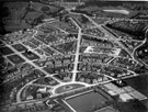 | s12365 Aerial view - Longley Estate showing Sheffield Corporation Moonshine Reservoir, Moonshine Lane, Herries Road, Longley North Council School |
Found 523 records.