Search Results
Found 523 records
| No | Image | Details | Add to Album |
|---|---|---|---|
| 1 |  | s43683 Aerial view of Gleadless Valley Housing Estate | |
| 2 | 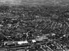 | s43687 Aerial view of Heeley c.1957 | |
| 3 |  | s43695 Aerial view of Oakes Park, Norton c.1957 | |
| 4 | 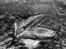 | s43696 Aerial view of Fraser Road Housing Estate, Woodseats looking towards Graves Park, c.1957 showing Holmhirst Road and Fraser Crescent | |
| 5 | 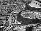 | s43728 Aerial view of Beauchief and Meadowhead showing (left) Abbey Lane and Abbey Lane Cemetery (top right) Graves Park and (right) Parkbank Wood, Chancet Wood and Woodside Brick Co. Ltd, Woodside Brickworks, Chesterfield Road c.1950 | |
| 6 |  | s43729 Aerial view of Beauchief and Meadowhead showing (bottom left) Abbey Lane and Abbey Lane Cemetery (top centre) Chesterfield Road and (right) Chancet Wood c.1950 | |
| 7 | 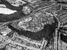 | s43730 Aerial view of Beauchief and Meadowhead showing (bottom left) Abbey Lane (centre) Chancet Wood, Woodside Brick Co. Ltd., Chesterfield Road and Meadowhead Allotments (top left) Graves Park c.1950 | |
| 8 | 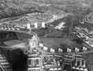 | s43731 Aerial view of Gleadless Valley Estate showing (foreground) and (right) Norton Avenue | |
| 9 | 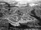 | s43734 Aerial view of Gleadless Valley Estate showing (centre) Herdings Tower Blocks, Raeburn Road and (top left) Norton RAF Station and Norton Avenue c.1957 | |
| 10 | 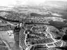 | s43735 Aerial view of Gleadless Valley Estate showing (left) Norton Avenue and Herdings Primary School (centre left) Herdings Tower Blocks, Raeburn Road and (back) Graves Park c.1957 |
Found 523 records.