Search Results
Found 523 records
| No | Image | Details | Add to Album |
|---|---|---|---|
| 1 |  | s33245 Aerial view of Norton Hall, Norton Church Road, latterly Jessop Hospital for Women, Norton Annexe and Beechwood Clinic, later converted into apartments in the 1990s | |
| 2 |  | u09841 Wisewood Estate aerial view | |
| 3 | 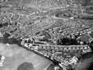 | u09842 Aerial view of Brushes and Stubbin estates | |
| 4 | 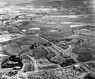 | u09870 Aerial view of Parson Cross with Ecclesfield in the background | |
| 5 | 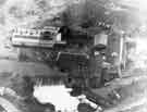 | s40658 Aerial view of Woodhouse corn mill | |
| 6 |  | s41640 Aerial view of Ladybower Reservoir c.1957 | |
| 7 | 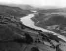 | s41641 Ladybower Reservoir | |
| 8 | 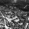 | s43340 Aerial view of Endcliffe and the Botanical Gardens showing Clarkehouse Road, Clarke Road and Southgrove Road c.1957 | |
| 9 | 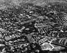 | s43341 Aerial view of Endcliffe and the Botanical Gardens showing Clarkehouse Road, Clarke Drive, Southgrove Road, Southborne Road, Brocco Bank, Westbourne Road, Rutland Park, Endcliffe Vale Road and Oakholme Road c.1946 | |
| 10 | 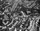 | s43342 Aerial view of Endcliffe and the Botanical Gardens showing Clarkehouse Road, Southgrove Road, Rutland Park, Ecclesall Road, Thompson Road and Walton Road |
Found 523 records.