Search Results
Found 523 records
| No | Image | Details | Add to Album |
|---|---|---|---|
| 1 | 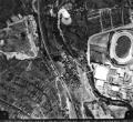 | t12574 View of (top left) Neepsend Power Station showing (centre right) Owlerton Stadium, Livesey Street and George Bassett and Co. | |
| 2 |  | u12559 Aerial view of Middlewood Hospital | |
| 3 | 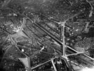 | s12347 City Centre and Park including Sheaf Street leading to Sheffield Midland railway station, centre, Granville Street behind, Shrewsbury Road leading to South Street Park, Shrewsbury Hospital, extreme right and Tram Car Depot, Leadmill Road, bottom left | |
| 4 | 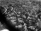 | s12416 Aerial view - Endcliffe/Broomhill including (l. to r.), Manchester Road (note Blind School), Fulwood Road (notable houses, left, from front, Tapton Edge, Tapton Court, Tapton Cliffe, Fairfield and Birchlands) and Ashdell Road, Hadfield and Godfrey D | |
| 5 | 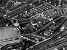 | s12429 Aerial view - Heeley | |
| 6 | 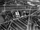 | s12436 Aerial view - Highfield and St. Mary's, Bramall Lane | |
| 7 | 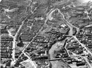 | s22115 Aerial view of Neepsend showing, Infirmary Road, St. Philips Church, Penistone Road, River Don, Neepsend Lane Gas Works, Ball Street Bridge, Neepsend Bridge, Cornish Works and Cornish Place Works | |
| 8 | 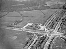 | s24489 Pipworth Road School, Pipworth Road with Prince of Wales Road left to right; Dawlands Close (bottom left); Beaumont Road and Beaumont Road North (right); | |
| 9 |  | u09837 Norwood Estate aerial view | |
| 10 |  | u09838 Wisewood Estate aerial view |
Found 523 records.