Search Results
Found 523 records
| No | Image | Details | Add to Album |
|---|---|---|---|
| 1 | 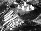 | s43773 Aerial view of Gleadless Valley Housing Estate between Abney Road and Callow Road | |
| 2 | 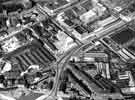 | s44017 View of the City Centre showing (top left) The Moor (foreground) Eyre Street and Cumberland Street | |
| 3 | 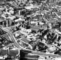 | s44018 View of the City Centre showing (bottom left) Sheffield Polytechnic and Arundel Gate (lower middle) Register Office, Town Hall and Town Hall extension (known as the Egg Box (Eggbox)), Leader House, Central Library and the Lyceum and Crucible Theatres | |
| 4 |  | s44019 View of the City Centre showing (foreground) Moore Street, (right) Eyre Street, (centre) The Moor, Charter Row and Grosvenor House Hotel and (top right) College of Technology and Park Hill Flats c.1967 | |
| 5 | 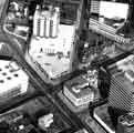 | s44020 View of the City Centre showing (foreground) Furnival Gate and Union Street, (centre) Moorhead, (right) Pinstone Street and Cambridge Street and (top left) Grosvenor House Hotel | |
| 6 |  | s44021 View of Owlerton showing (foreground) River Don, (centre) Penistone Road | |
| 7 |  | s44024 View of (left) Register Office, (centre) Town Hall extension and (right) Town Hall and Peace Gardens | |
| 8 | 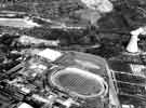 | s44025 Aerial view of the Sheffield Sports Stadium (latterly Owlerton Stadium and Owlerton Greyhound Stadium), Penistone Road, Owlerton showing (right) Livesey Street and Neepsend Power Station | |
| 9 |  | s44026 Aerial view of the Sheffield Sports Stadium (latterly Owlerton Stadium and Owlerton Greyhound Stadium), Penistone Road, Owlerton showing (left) George Bassett and Co. Ltd., confectionary manufacturers | |
| 10 |  | s44076 View of the construction of the Mosborough Townships |
Found 523 records.