Record Detail
Large format version available - click on Zoom button to browse this image in a zoomable viewer
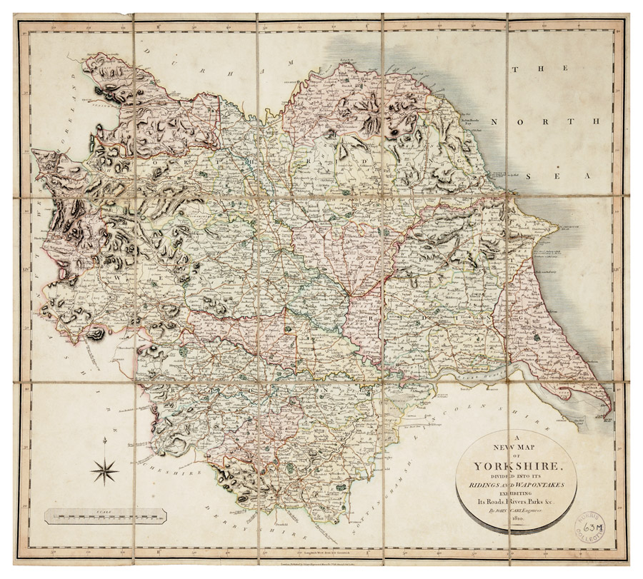
| arc00971 | |
| A new map of Yorkshire, divided into its ridings and wapentakes, exhibiting its roads, rivers, parks, etc. John Cary | |
| Sheffield | |
| 1810 | |
| 1800-1850 | |
Scale 5 1/2 inches : 1 mile. Original at Sheffield Archives (NC/4/1).
|
Copying and access
This digital image, and all images on Picture Sheffield, are protected by copyright. You may use it for private study or non-commercial research, with due acknowledgement.
You may share it on social media via a linked post or by citing www.picturesheffield.com together with the Image Reference, unless its copyright is noted as belonging to another organisation. You must not reproduce it by any other means without permission.