Search Results
Found 11900 records
| No | Image | Details | Add to Album |
|---|---|---|---|
| 1 |  | q00045 Ordnance Survey Map, sheet no. Yorkshire No. 294.4.23 | |
| 2 |  | q00044 Ordnance Survey Map, sheet no. Yorkshire No. 294.4.22 | |
| 3 | 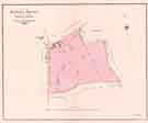 | y11283 Plan of Norton House situate in the parish of Norton and County of Derby | |
| 4 | 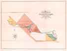 | y11274 Plan of property at Ecclesfield Common | |
| 5 |  | y11275 Plan of Freehold Property at Park Crescent, Broomhall, Sheffield, as allotted for sale | |
| 6 |  | y11276 Gloucester Crescent and Park Crescent, Broomhall | |
| 7 | 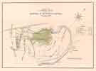 | y11277 Plan of a most important freehold estate at Brightside, near Sheffield | |
| 8 | 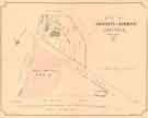 | y11278 Plan of property at Ranmoor, Sheffield, for sale | |
| 9 |  | y11279 Plan of property situate in Upper Hallam in the Parish of Sheffield for sale | |
| 10 | 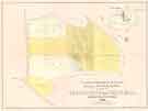 | y11280 Plan of a freehold estate belonging to Mr Samuel Blacktin situate near and at Greystones in Ecclesall Bierlow, Sheffield |
Found 11900 records.