Search Results
Found 523 records
| No | Image | Details | Add to Album |
|---|---|---|---|
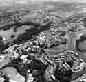
| 1 |  | s44109 Norfolk Park Flats | |
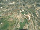
| 2 |  | s44112 Highfield and Sharrow showing (centre) Lansdowne Flats and Cemetery Road, (foreground) Ecclesall Road, (left) London Road (bottom left) St. Mary's Gate, Moore Street and the Electricity sub-station | |
| 3 |  | t09087 Aerial view of Devonshire Green showing (left) Devonshire Street and (centre) The Forum shopping centre | |
| 4 |  | t10673 View of Upperthorpe, Netherthorpe and Broomhill from a hot air balloon showing (bottom centre) Crookes Valley Park and (top centre) Royal Hallamshire Hospital | |
| 5 |  | p01869 Aerial view of (centre) Hyde Park Flats, (top left) Park Hill Flats and Ponds Forge Sports Centre showing (top right) the Sheffield Canal Basin | |
| 6 |  | u12018 Aerial view of St. Ann's RC Junior and Infant School, McIntyre Road, Stocksbridge | |
| 7 |  | u12562 Former Middlewood Hospital, Middlewood Road | |
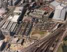
| 8 |  | sypte00270 Pond Street Bus Station and Interchange (centre) showing (top right) Ponds Forge Sports Centre, (top centre) Royal Mail sorting office, (bottom centre) Sheffield Midland railway station and (left) Sheffield Polytechnic | |
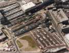
| 9 |  | sypte00271 Pond Street Bus Station and Interchange (showing (top right) Royal Mail Sorting Office and Heriot House, offices, Pond Hill | |
| 10 |  | u10590 Aerial view of The Drive off Marlcliffe Road, Hillsborough, with the back of houses on Wadsley Lane shown at the top. |
Found 523 records.